DAY 1: CUSCO – CAPULILLOC – PLAYA ROSALINA
You will be picked up from your hotel around 6:00am, where we will take an approximately 4 hour journey in our private van until we arrive at the starting point for our hike in Capuliyoc (3.150 m/ 10,150 ft.). We will pass through very beautiful countryside as we take in the canyon of Limatambo, the majestic mountain Salkantay and Humantay and several agricultural fields, also passing through several typical villages and beautiful countryside of our region.
After we arrive at the typical town of San Pedro de Cachora, we will take a brief stop to take some photos and continue onward to the starting point of the hike in Capuliyoc. Here we will wait our muleteer with our mules and horses that we start this wonderful adventure and be able to take the first pictures of the Canyon of the Apurimac. After getting ready, we will begin our journey down a narrow road for about 3 hours to Chiquisca, where we will have lunch and enjoy a fantastic view of the Apurimac Canyon as well as Padreyoc Mountain, and the location of Choquqequirao. Afterwards, we will resume our hike for a couple of hours where the climate is significantly warmer and flora and fauna begin to change. Finally we arrive to our camp in Playa Rosalina (1,550 m), beside the Apurimac River “God Speaker,” delicious lunch awaits us and we spend the night in this location.
- Food: Lunch and dinner
- Accommodation: camp
- Maximum altitude: 3,150 m / 10,150 ft
- Minimum height: 1.550 m / 5,085 ft
- Distance: 10 km / 6 miles
- Approximate hiking time: 6 hours
- Difficulty level: moderate.
DAY 2: PLAYA ROSALINA – MARANPATA – CHOQUEQUIRAO
To start the, day we cross the River on a footbridge and here we will ascend early to climb the steep zigzagging path, 5 hours depending on your physical condition, but don’t worry if you feel tired or a little agitated. We have an emergency horse which can be used to continue our journey. Along the way we will see many orchids considered the most beautiful wildflowers, as well as a variety of birds, and see the entire area of the Canyon surrounded in its vegetation and environment. We will have lunch at Maranpata, where our chef will be waiting with a delicious lunch to replenish the lost energy. The afternoon hike will not be very steep, and it will be about 2 hours until you reach the archeological site where we will camp in a flat area nearby- In the afternoon we will enjoy the sunset of this enigmatic place and have a nice dinner.
- Meals: Breakfast, lunch and dinner
- Accommodation: camp
- Maximum altitude: 3,035 m / 9.957 ft
- Minimum altitude: 2.800 m / 9.186 ft
- Distance: 11 km / 6.82 miles
- Approximate hike time: 7 – 8 hours
- Difficulty level: difficult
DAY 3: CHOQUEQUIRAO ALL DAY TOUR
After a relaxing breakfast we will visit the archaeological site of Choquequirao where we will have all day to visit and explore the most important areas. You will have a guided tour of most of the attractions of Choquequirao, then you will have free time to visit and to explore the different palaces, temples and ceremonial fountains, a fabulous Usnu (ceremonial center), and the amazing agricultural terraces. With a little luck we will be able to see condors flying around. Choquequirao means: “Cradle of gold” and is considered to be one of the lost cities, and is at the same time larger than Machu Picchu. This impressive place, considered as the last refuge of the Incas, was rediscovered at the end of the last century. Today, archaeologists are still discovering new remains in different places in this important sector. In the afternoon we will return to our camp, and if we are lucky we will appreciate the flight of the condors of this magnificent valley as the sun sets.
- Food: Breakfast, lunch and dinner
- Accommodation: camp
- Visit to the Archaeological Park all day by the various sites
DAY 4: CHOQUEQUIRAO – PLAYA ROSALINA – CHIQUISCA
After our breakfast, we leave this beautiful place and begin our return journey which will take about 5 hours, down steeply to the Valley by visiting small villages along the way, where we can interact with the local people who are dedicated to agriculture and breeding animals. As we arrive at Playa Rosalina our Cook will be waiting with a delicious lunch, then we will have a rest to re-energize. We then start our hike again for about 2 hours of climbing until we arrive at Chiquisca which will be our last camp, and once again enjoy the sunset of this site.
- Food: Breakfast, lunch and dinner
- Accommodation: camp
- Maximum Altitude: 3,035 m / 9.957 ft
- Minimum Altitude: 2.50 m / 6.725 ft
- Distance: 11 km / 6.82 miles
- Approximate hike time: 7 hours
- Difficulty level: moderate to difficult
DAY 5: CHIQUISCA – CAPULIYOC – CUSCO
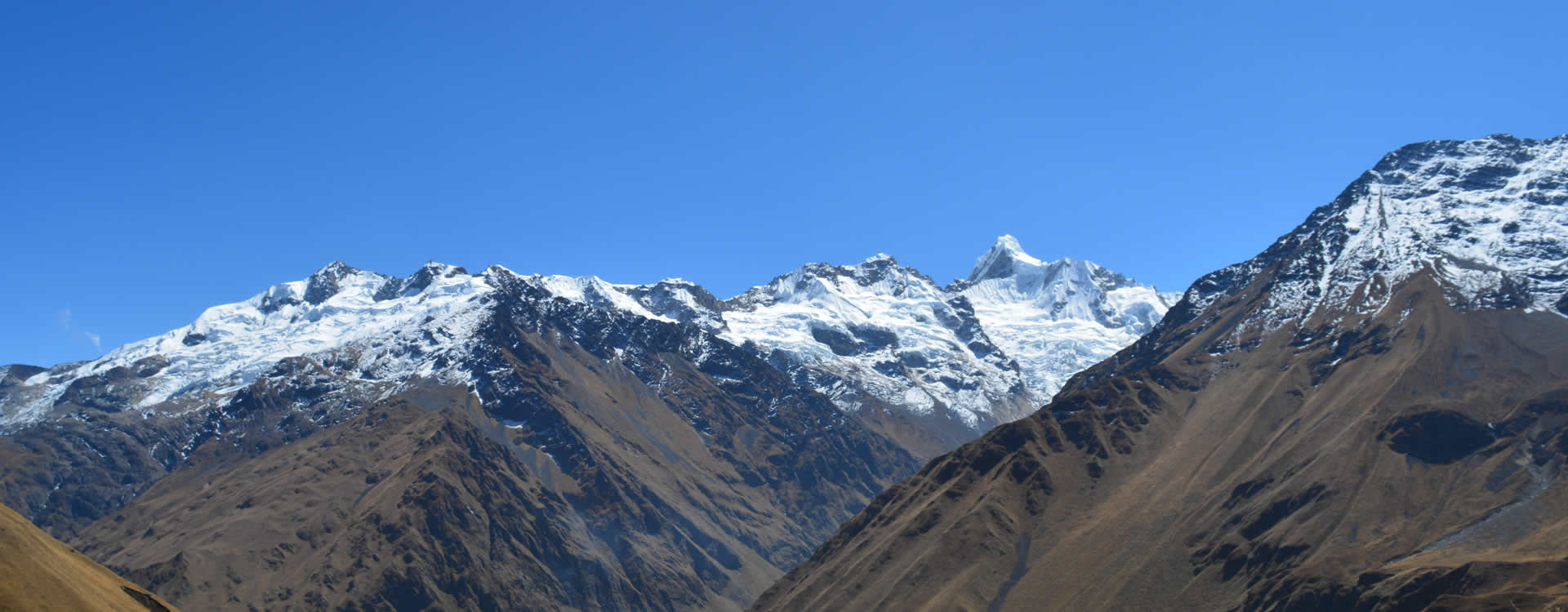
After our last breakfast will start the day early to avoid the intense sun, up to 3 and a half hours to Capuliyoc, where we will have a wonderful view of the snow-capped Padreyoc Mountain and the Apurimac Canyon until the end of the trail. Here we will meet our transport and it will be time to bid farewell to our friends the muleteers. Then we will take our private transportation back to the city of Cusco. On the way back we will visit the archeological site of Saywite which is an Inca model showing the different ecosystems that they knew. After visiting this important place we will continue our return trip and we stop at Conoc (thermal baths) where you can relax and enjoy the springs. Here we will have our last lunch, and after a short break, we continue the trip to the city of the Cusco passing through some villages like Curawasi, where the famous anise (local tea) is grown. We will arrive to Cusco around 7:30pm, where we drop you off at your respective hotel.
- Food: Breakfast, lunch.
- Lodging: Camp
- Maximum altitude: 3,150 m / 10,150 ft
- Minimum altitude: 2,500 m / 6,725 ft
- Distance: 17 km / 10 miles
- Approximate hiking time: 5 hours
- Difficulty level: moderate to difficult
Discounts:
- Student discount (only with an active green ISIC card) US $20.00
- Under 15 years old pay as a student: US $ 20.00
- Under 7 years old discount: US $ 35.00
AVAILABLE FOR RENT
- Walking Sticks $ 20.00 USD (pair) for the entire trip.
- Sleeping Bag $ 35.00 USD
- Private Tent $ 40.00 USD
- Horse to ride for the entire trip $ 120.00 USD
What you should take:
Hikers should carry the following personal items:
Travel insurance, personal items, first aid kit, fever/ upset stomach/altitude sickness pills, water purifier, sunscreen, mosquito repellent, rain ponchos, canes, hiking boots, camera, cap for the sun and the cold, thermal clothes for in the night and light clothing for the day, money (at personal discretion) and original documents: Passport, DNI, and for students, their original ISIC card.